Trail Difficulty – Expert
Trail Length – 9.01 miles
Trail Time Share – No
Ride Type: Out & Back / Loop
Ascent – 3168 ft.
Descent – 3155 ft.
Min Elevation – 5417 ft.
Max Elevation – 8243 ft.
High Resolution Topo Maps
Here is a trail that is merciless from the word go. Climbing from the valley below, you look up at steep canyon walls. This trail picks its way along a steep and at some points very exposed trail edge. Mainly used by hikers but open to riders, this trail is best described as “high risk and punishment with high reward (Incredible views from the top)! Ascending just shy of 3,000 feet in little over 3 miles makes even the strongest of riders bow down to this
trail. After climbing through heavily forested areas you are rewarded with the first set of great views from a meadow filled with wildflowers. Continuing from the meadow you start riding along a very exposed trail edge (take your time and do not try to ride too fast). Once you intersect with the fire road continue to the left (uphill). At this point, there will be a hike-a-bike for about a ¼ mile and then a short uphill to the Forest Ranger overlook building with spectacular views for 360 degrees!
Driving Directions:
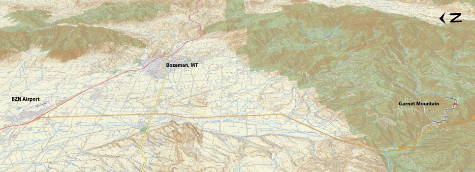
From Bozeman, take Hwy. 191 south for about 17 miles. Turn left and cross over the Squaw Creek Bridge, then turn right and parallel the river before bending left into the Squaw Creek drainage. As you enter the drainage look for a small parking area on the left and park here (this lot also serves the Storm Castle trailhead). The marker for Garnet Mountain single track is across the road from the parking lot.
Google Maps Driving Directions (IOS and Android compatible)
Garnet Mountain Trailhead


