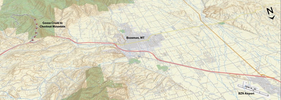
Trail Difficulty – Intermediate
Trail Length – 14.33 miles
Trail Time Share – No
Ride Type: Loop / Shuttle
Ascent – 1831 ft.
Descent – 2564 ft.
Min Elevation – 5337 ft.
Max Elevation – 7627 ft.
High Resolution Topo Maps
Look at Chestnut Mountain & Goose Creek for trail descriptions. Connecting these two trails makes for a really fun loop or shuttle. You can ride it either direction depending on what you prefer for uphill difficulty and downhill terrain preferred. If riding as a loop, park your vehicle where you plan to end your downhill (i.e. Goose Creek to Chestnut, park at the Chestnut trailhead and ride up the frontage road to the Goose Creek trailhead or vis versa if riding Chestnut to Goose Creek).
Driving Directions:
From Bozeman, drive east on I-90 towards Bozeman Pass. Take the Trail Creek exit (Exit 316) and turn right over the train tracks (headed south on Trail Creek Rd). The Trailhead parking is on the south side of the road, approximately ⅛ mile from the interstate exit. First option is to leave your vehicle at the Chestnut Mountain trailhead or if you plan on parking at the Goose Creek trailhead, continue south on Trail Creek road for 3 miles to the well marked road heading up Goose Creek (on the right). Follow this road for 1 mile and bear right at the “Y” in the road and continue through private property for approximately another mile until you reach the locked gate and parking area. Be respectful of private property and stay on the main road while you are driving up to the trailhead.
Google Maps Driving Directions (IOS and Android compatible)
Goose Creek Trailhead
Chestnut Mountain Trailhead


