Ascent – 1570 ft.
Descent – 1568 ft.
Min Elevation – 7119 ft.
Max Elevation – 7929 ft.
High Resolution Topo Maps
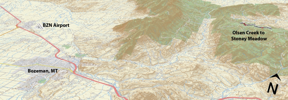
 Here is a great trail that has a little of everything to offer. This is the middle portion of the Bangtail Divide Trail which is great for beginners and intermediates alike. Park at the same location as if you were going to ride Grassy Mountain Shuttle (top of Olsen Creek road). But on this ride you will go right (south) uphill along the single track. This trail is a great blend of up and down. The uphill begins immediately after leaving the parking lot, followed by terrain that is rolling, giving the rider breaks along the way and helps maintain the fun factor. At about the 3 mile mark the trail will become slightly steeper as you enter a fairly dense area of forest, (kindly named the ‘enchanted forest or ninja woods’). As you exit the enchanted forest you will go right to the opposite extreme, as you enter a vast high mountain meadow that is filled with wildflowers early season. Ride to at least the middle of the meadow and stop to take in the beautiful views and refuel/rehydrate. This is the normal place to turn around and head back the way you came. If you are looking to extend the ride you can continue farther along the trail. If you plan on riding this in the early season, reach out to one of the local bike shops and ask for current trail conditions. This is due in part to sections of this trail hold snow for a good amount of time into the summer months.
Driving Directions:
From Main Street in the center of Bozeman take Rouse St. north following signs toward Bridger Bowl Ski Area. Rouse turns into Bridger Canyon Road (highway 86), continue to drive northeast up Bridger Canyon approximately 13 miles. Turn right on Olsen Creek Road. Drive 4.3 miles (bear left at the junction near the top of the road around 4 miles) and park on the left side about 300 yards after the junction. From here continue to ride east on the logging road and you will see a single track going across the road about 300 yards up from the parking area. Turn right (south) on the single track and this is the beginning of the trail.
Google Maps Driving Directions (IOS and Android compatible)
Olsen Creek Upper Parking


