Ascent – 1721 ft.
Descent – 1730 ft.
Min Elevation – 5341 ft.
Max Elevation – 6928 ft.
High Resolution Topo Maps
A great trail that will challenge your technical riding skills on loose rock and random roots sprinkled throughout the trail. On the west side of the Bridger Range and nestled in a drainage with steep walls, this trail does not dry out till late spring and also stays wet longer after a storm due to the thick forest surrounding the trail. From the trailhead the trail will get your blood pumping with a short but stiff climb (maybe only 30 yards long). The composition of the trail is relatively consistent all the way up. A little over 2 miles you will come to a root
outcropping kindly nicknamed “the root drop”. If after the two consecutive climbs prior to the root drop you still have gas left in the tank riders will attempt to ride up it (if there is even a small amount of water in the creek just prior to “the root drop” be advised that the root will be very slick). As the trail continues beyond there will be a section of loose rock packed into a relatively narrow section of trail for another 200 yards. At this point the trail makes a hard left on a switchback and this is where the forest service was kind enough to recut the trail all the way up to the Bridger Foothills Trail. Once you reach the trail intersection at the top, two options are available. Ride back down the way you came or you can take a left (north) and ride the small but more technical lollipop loop. For more information, read the Turman’s Gulch Lollipop Loop.
Driving Directions:
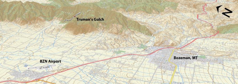
From Bozeman, drive north on 7th over the highway and continue onto the frontage road. Continue on the frontage road and take a right at the first light (Springhill Rd) right on Springhill road. Heading north on Springhill Road, drive 8.5 miles to Springhill Community Road on the right. There will be a sign for Truman Gulch. Turn right and continue for 1.6 miles to Walker Road. Springhill Church is on the corner. Turn right and drive 1.1 miles to Forswell Road on the left. Continue 3 miles to the trailhead at the end of the road.
Google Maps Driving Directions (IOS and Android compatible)
Truman’s Gulch Trailhead


